Day 67 - July 16th: The Split
Sibuljina to Korlat: 31.4 miles / 1,861 total
After surviving one of the most difficult days so far, I knew things would get better. By 4 PM I was off my feet and resting in an air-conditioned room as Christina and I mapped out the next week’s logistics. We’re officially heading toward Dubrovnik—our final stop in Croatia. At this juncture, we had to decide: inland into the mountains, or back to the coast? We chose the coast. Lodging and food are too sparse inland right now. The final decision would come on the road.
We overnighted in another little seaside town called Starigrad, tucked along the Velebit Channel. In ancient times, this stretch was home to the Roman settlement Argyruntum, a once-thriving port dating back to the 1st century AD. Its remnants now lie buried under modern roads and pine trees, but in Roman times it was an important commercial hub with over 400 tombs excavated nearby.
We skipped the busiest place this time and picked the highest-rated restaurant and it was great. A Greek salad, appetizer of anchovies, and a massive burger hit the spot. I knew the dehydration was behind me when I found myself craving a cold beer again—something I couldn’t even look at the day before.
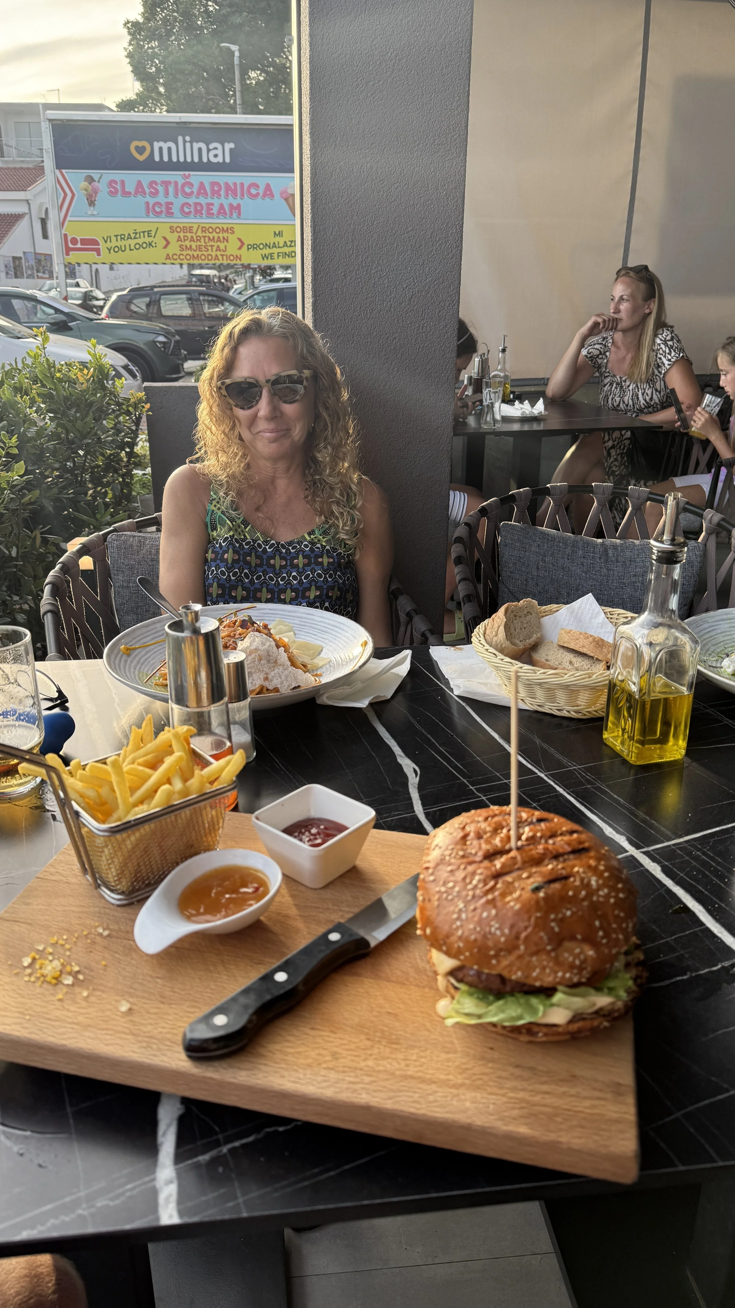
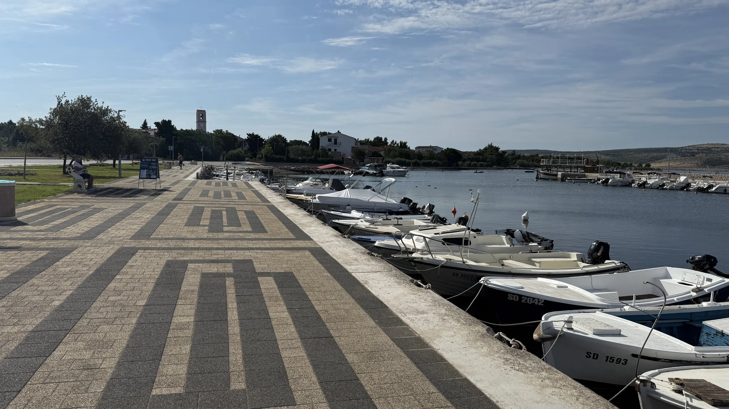
After dinner, Christina, Jax, and I walked the little harbor. There was live music playing, tourists strolling, shops open. It all felt calm, wholesome, like summer should.
At 6:30 AM, Christina dropped Jax and me 10 km north of Starigrad where I had left off the day before. With quiet roads and cooler morning temps, we figured he could join for a stretch. When I opened the car door, he looked at me like, “Am I in today?” “You want to run?” I asked. He shot out like lightning.
Beneath the gravel, we were running over Argyruntum, the ancient Roman town. On our left loomed the Velebit mountains; on our right, the pine-covered hills sloped into the sea—hills once crowned with Bronze and Iron Age hillforts. Some of their stone mounds are still visible on the ridges. Later, during medieval times, Večka kula, a squat stone tower near the shoreline, helped hold back Ottoman raiders descending from the interior.

Jax and I floated along until we reached the hotel again at 8 AM. Christina was on the patio waiting for us at breakfast. I was out again in 30 minutes and rejoined the E65, but for the first time since I’d been on it, there was a pedestrian walkway. It made all the difference. I was finally feeling like myself—about 80% of a full tank and climbing.
Today’s route was special. After four straight days clinging to the E65, I was finally peeling off it. This leg would connect the Croatian mainland to the island chain via a massive modern bridge visible from miles away.

As I wound through Rovanjska, a quiet inlet stood out—muddy, filled with freshwater runoff and wading birds. A totally different ecosystem from the rocky coastline. That was the turn.

From there, a steady climb led up to the Maslenica Bridge, a striking modern span crossing the Novsko ždrilo strait. It connects northern Dalmatia to the rest of Croatia’s southern coastal road network and replaced an older bridge destroyed during the war in the early ‘90s. The views from up there—raw, mountainous, with the sea shimmering below—were some of the best of the trip.

Down from the bridge, I ran into Posedarje, a small town near the Novigrad Sea. I dipped into a market to resupply while Christina was trying to solve another logistics puzzle—tonight’s lodging. Nothing nearby. Eventually we found a spot, but it would cost us an hour of extra driving and no breakfast. Not ideal. But we’ve done it before and we’ll do it again.
Once around the Novigrad Sea, I started climbing again—this time into a different terrain entirely. The coastline faded. Forests. Quiet roads. Heat radiating off pavement. I passed through Paljuv and Smilčić, olive groves and vineyards returning to the edges of the road.

The final stretch of the day took me onto a road marked Via Magna—once part of a historic trade and military route that cut across the Dalmatian hinterland, linking the Adriatic coast with inland territories like Bosnia and Hungary. Though formally documented in the 13th century, its straight alignment across open plains and through rugged mountain passes suggests it followed the footprint of an older Roman road, likely built after the Roman conquest of Illyricum in the 1st century AD.

At 4 PM I called it. I was up on a dry, elevated plateau, at eye-level with the wind turbines. Back in the heat, but back in control. A solid day. I was strong again, full stride.
With a good night’s rest, I’ll be back at full throttle tomorrow as we keep working our way across the interior plateau and toward Split.
Thanks for following along and for all the support.
Cheers,
David.